THE 53 FPS PLUNGE PART IV: CAPABLE MILITARY BASES AND CULPABLE ALIGNMENTS
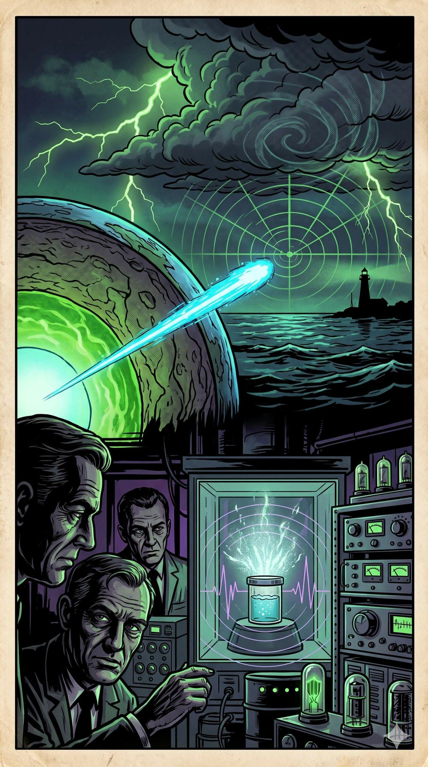
#ProjectWendigo #DirectedEnergy #Hydrodynamics #BlackOps If you draw a direct line from the wreck site of the Edmund Fitzgerald (46°59.9′N, 85°06.6′W) to the Whitefish Point Lighthouse (46°46.2′N, 84°58.3′W) and extend that exact heading forward, you are projecting a trajectory of approximately 155 degrees (South-Southeast). Thickening this heading creates a 100-mile-wide corridor (50 miles on either side … Continue reading THE 53 FPS PLUNGE PART IV: CAPABLE MILITARY BASES AND CULPABLE ALIGNMENTS
0 Comments